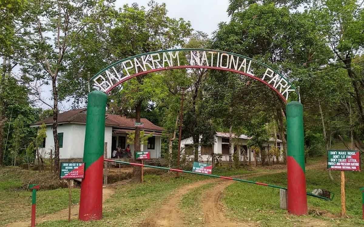
Balphakram National Park
Balphakram National Park
Park At Glance
| IUCN Category | II (National Park) |
| State | Meghalaya. |
| District | South Garo Hills. |
| Area | 220 Sq. Km. 22,200ha |
| Biogeographic Province | 4.09.04(Burma Monsoon Forest) |
| Geographical Location | Lies in the West Garo Hills and West Khasi Hills districts of southern Meghalaya, about 200 Km by road south-west of Shillong. Approximately 25 degree19 N, 90 degree 58’ E. |
| Established On | Declared a national park on 15 February 1986. |
| Topography | Forest hills, steep gorges |
| Temperature | Min 10 degree C; Max. 32 degree C. |
| Rain Fall | 6136mm. |
| Altitude | 50m-1026m. |
| Latitude | 25 degree 9 N |
| Biogeographical Province | 4.09.04 (Burma Monsoon Forest) |
| Land Status | Provincial government |
Physical Features: A plateau at 797 m of about 700ta, which is source of a number of rivers originate that have cut deep gorges (up to nearly 800m) and valleys. It is rich in minerals, notably coal (approx. 107 million tones), limestone, mica. Soils vary from sandy to clayey and pH from 5.6.to 6.5.
Climate: Mostly hot (February to October). Mean maximum temperature ranges from 25 C in winter (November to January) to 32 C in June. Mean minimum temperature in winter is about 10 C. Monsoon lasts from May to October, the wettest months being June to August. Mean annual rainfall is 6136 mm.
Vegetation: Evergreen & Moist deciduous. The types of tropical moist forests identified are tropical moist evergreen forest (almost virgin); tropical semi evergreen (mixed evergreen) forest, riverine forest, grassland and tree savanna, tropical deciduous forest, bamboo forest.
Flora (Plants): Scrub, grass bamboo. Fauua (Animals): elephant Elephas maximus and tiger panther tigris, populations of which are estimated to total 860 and 10, respectively. The primates are represented by: Assam macaque Rhesus assamensis, rhesus macaque M. mulatta, capped langur presbytis pileata and hoolock gibbon Hylobates hoolock and possibly also slow loris Nycticebus coucang. Cinclude wild dog cuon alpines Himalayan black bear Selenarctos thibetanus, leopard Panthera pardus, clouded leopard P. nebulosa Asiatic golden cat Felis temmincki Ungulates include wild pig (boar) Sus scrofa, sambar Cervus unicolor Indian muntjac Muntiacus muntjak, water buffalo Bubalus bubalis, gaur Bos gaurus, goral Nemorhaedus goral and serow Capricornis sumatraensis.
Large number of red jungle fowl Gallus gallus and grey peacock-pheasant polyplectron bicalcaratum are present Constraints Elephants visit nearby villages and cause considerable damage to crops, particularly during the dry season.
| Best Time to Visit | Oct. May. |
| Nearest Town | shilling. |
| Nearest Railway Station | Guwahati (Broad Gauge). |
| Nearest Airport | Guwahati |
| Accommodation | Limited. |
| Wildlife Authority | DFO Balphakram N.P., Wildlife |
| Valuable References | State Tourist Office, Shillong, Meghalaya. |
The wildlife protection in the Meghalayan regionis very limited. It is a proposed National Park with an area of 339 Sq. Km. It comprises evergreen and moist deciduous forests and has tracks of scrub, bamboo & grass. The topography of the park is represented by forest hills, steep gorges and rivers.
While peacock pheasant are the representative of birds, this protected area has leopard, clouded leopard, Hoolock gibbon, tiger, gaur, wild buffalo, elephants capped langur, leopard cat, black bear here.
Prior permission to visit Meghalaya and this region requires to be obtained in advance from the State and Centre Authorities. Shillong is connected with Guwahati by road (103 km. south) a route served by buses run by Blue Hill & Meghalaya Transport Corporation and Taxis. Vayudoot (domestic Airline) Service (once available also need to be confirmed). While Shillong is the proximate rail and air-head.